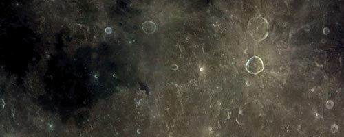
There is no dark side of the moon...
October 31, 2005 | Comments (0)
…as a matter of fact it’s all dark

After Google Earth,
The application is a 53mb download and available for windows 2000 or XP. A 3D graphics card is required as are the DirectX drivers and the Microsoft .net environment. To zoom in at the maximum level, World Wind will download the detailed images automatically.
“World Wind lets you zoom from satellite altitude into any place on Earth. Leveraging Landsat satellite imagery and Shuttle Radar Topography Mission data, World Wind lets you experience Earth terrain in visually rich 3D, just as if you were really there.”
Disclaimer: it’s a coincidence that we have two posts about outer space information!
Use the form below to add your relevant comments, suggestions. Be aware that I reserve the right to edit any raw language, abusive and/or inappropriate comments that's too far off topic or remove it all together.